Looking for design inspiration?   Browse our curated collections!

Previous Image

|

Next Image
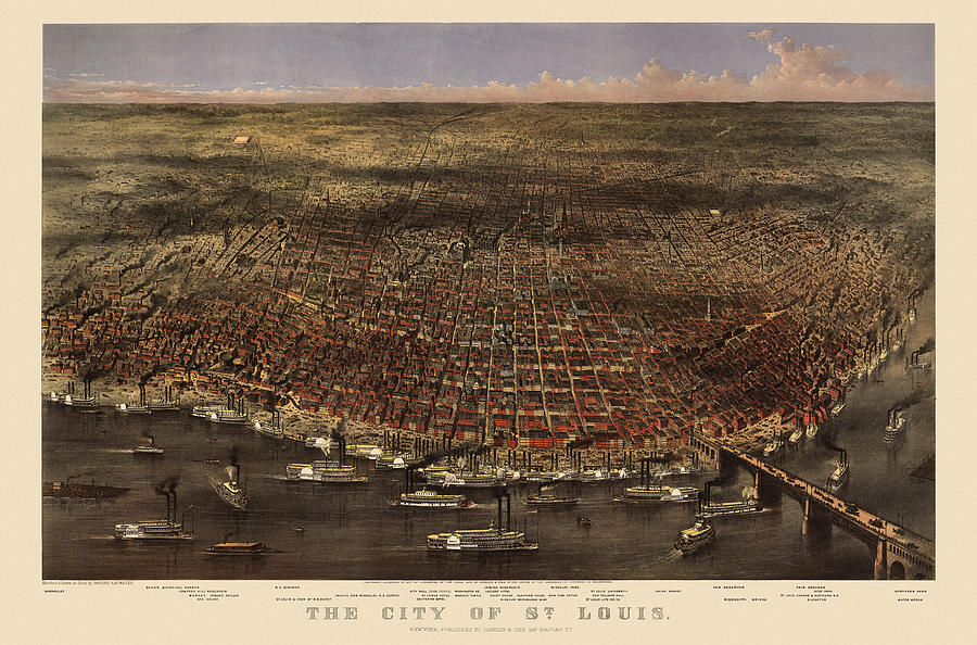
Currier And Ives Drawing - Antique Map of Saint Louis by Currier and Ives - 1874 by Blue Monocle

Antique Map of Saint Louis by Currier and Ives - 1874 is a drawing by Blue Monocle which was uploaded on January 4th, 2014.

More from Blue Monocle

View Profile

Antique Map of New Orleans by Currier and Ives - circa 1885 by Blue Monocle
Antique Map of Washington DC by Currier and Ives - circa 1892 by Blue Monocle
Antique Map of New York City by Currier and Ives - 1870 by Blue Monocle
Antique Birds Eye View of the Brooklyn Bridge and New York City by Currier and Ives - 1885 by Blue Monocle
Antique Map of Boston by Currier and Ives - 1873 by Blue Monocle
Antique Map of Chicago by Currier and Ives - 1892 by Blue Monocle
Antique Map of Brooklyn by Currier and Ives - circa 1879 by Blue Monocle
Antique Map of Baltimore, Maryland, Currier and Ives, 1880 by Blue Monocle
Antique Map of New York City by Currier and Ives - circa 1877 by Blue Monocle
Antique Map of San Francisco by Currier and Ives - circa 1878 by Blue Monocle
Old New York City Map by Currier and Ives - 1879 by Blue Monocle

Comments (3)

Rick Hansen

Rick Hansen

Congratulations on your sale!!

Irina Sztukowski

Irina Sztukowski

Congratulations on your successful sale!

David Stasiak

David Stasiak

Congratulations!

Recently Viewed

Antique Map of Saint Louis by Currier and Ives - 1874 by Blue Monocle
Previous Image Next Image